by Matt Konkle
Torque Editor-in-Chief
MOAB, Utah — Sunday in Moab isn’t a day of rest for really anyone. Especially not during Easter Jeep Safari Week. Trail plans have already been made, the coffee poured, driver meetings kick off and lines of Jeeps snake down US 191 headed north and south to venture out into the Utah desert to take on the world. Or, at least, whatever obstacles stand in the way today.
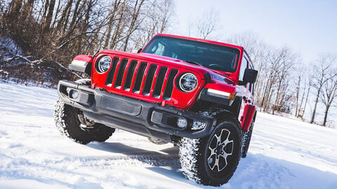
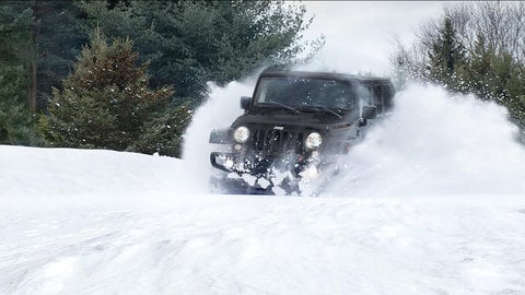
With a few days before the start of the Dixie Off Road Expo, we decide today is the day to haul our anniversary YJL up into the La Sal mountain range southeast of Moab. The mountains recently received a good dose of snow throughout its higher elevation level and we figured it would make some good images —but personally I think our YouTube Personality Rob Jarrell also wanted to play in the snow.
First thing, though, was breakfast and we look forward every year at EJS to spend an early morning at the Moab Diner, right in the town’s heart on US 191. Except, sadly, in our excitement at slathering some green chili sauce on one of their Sweetwater Skillets, we forgot the diner actually does have a day of rest on Sunday.
Maybe another time.
We soon find another spot and then it is off to the La Sal range — about a half-hour drive and nearly a mile up in elevation from Moab to almost 9,800 feet above sea level. And after accomplishing what we need, we make a detour on the way back; finding a spot that many probably pass on by without a second glance.
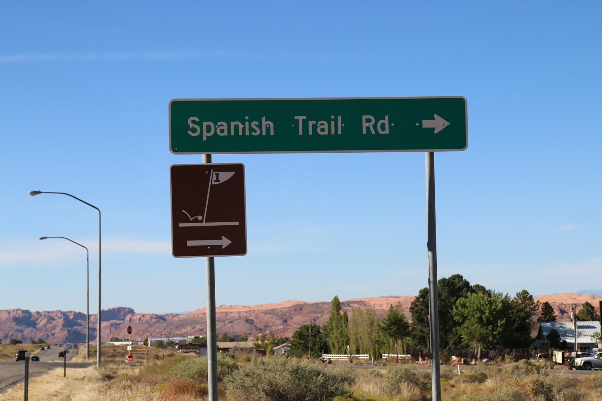
It is on the way to Steelbender, just a simple turn on East Spanish Trail Road south of Moab, then continuing on through a roundabout and another quarter-mile or so on Westwater Road. At that point, you can keep going to hit the Steelbender trailhead a bit further down the road, or you can pull off at a red rock formation that simply looks, at first glance, like nearly every other red rock formation surrounding Moab.
Perhaps that’s why a bunch of cars and two groups of Jeeps roll on by while we were there, leaving behind a small cloud of dust as they headed down towards Steelbender.
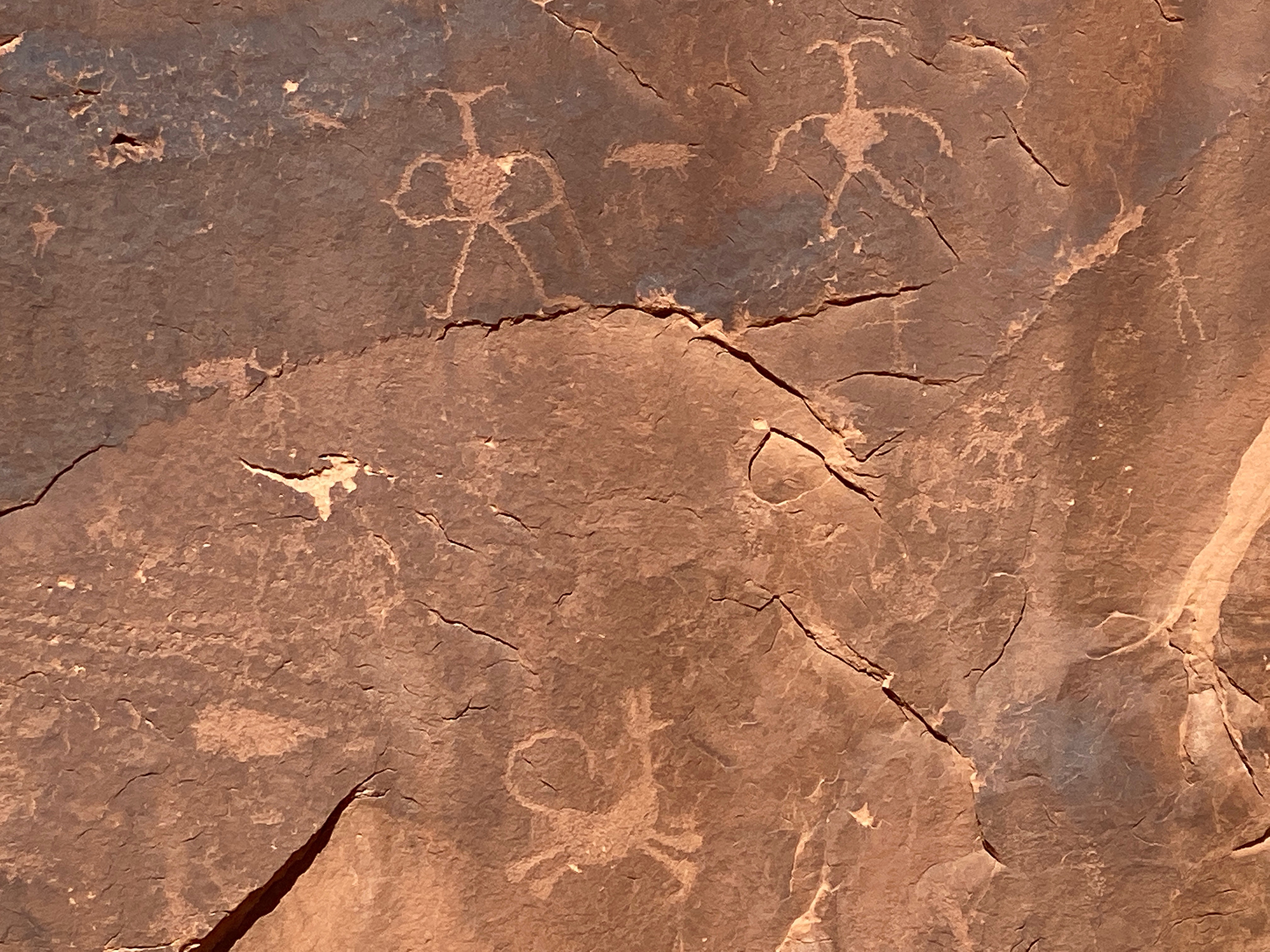
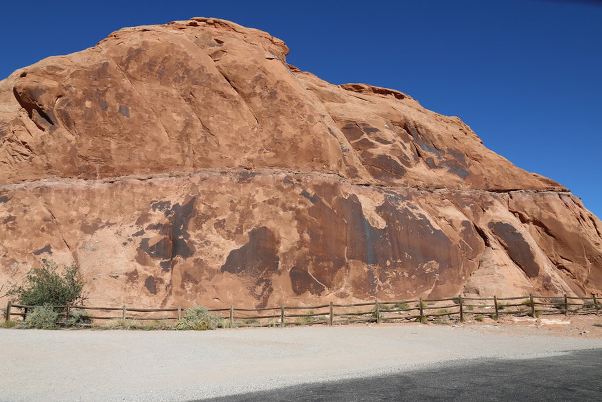
But when you stop, and examine the sandstone face on that red rock growing out of the earth, you quickly see it is pretty unique.
There are images all over the face of the thing, subtly blended into the sandstone so much that they don’t hit you over the head with their presence.
Petroglyphs.
These are fragile drawings that have been pecked, ground, incised, abraded, or scratched on the rock surface at some point in the distant past.
This site is called Golf Course Rock Art, and is just one of scores of locations all over the Moab area that have these type of depictions. Some you need to hike a bit to reach, but this one just requires you to slide into a gravel parking area to see.
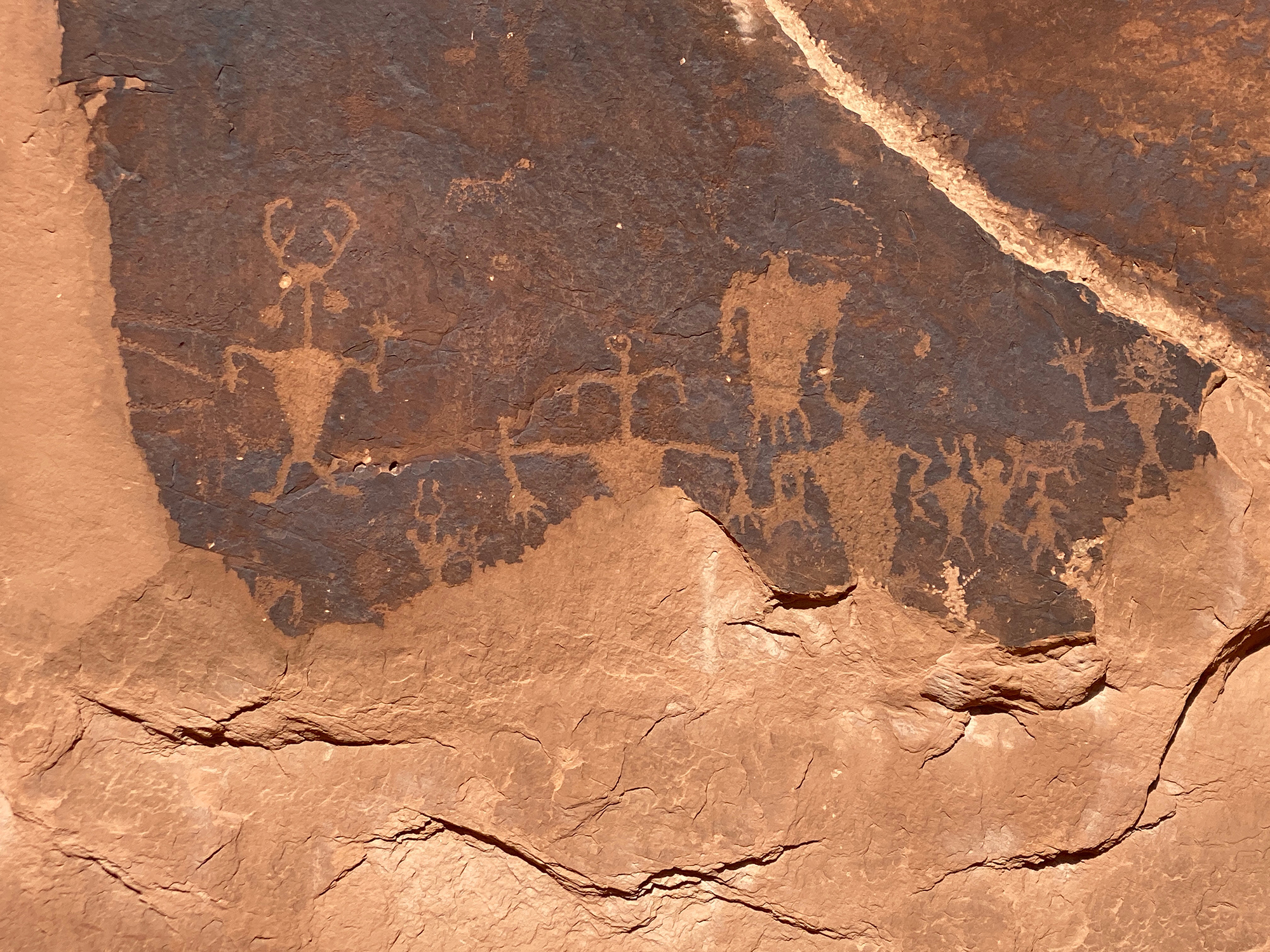
The Golf Course Rock Art site, named because of the nearby Moab Golf Course, contains petroglyph panels from the Anasazi and Fremont cultures — Native Americans who lived in the Moab area between 1 AD - 1275 AD. This is also the site where the prominent image 'Moab Man' is located.
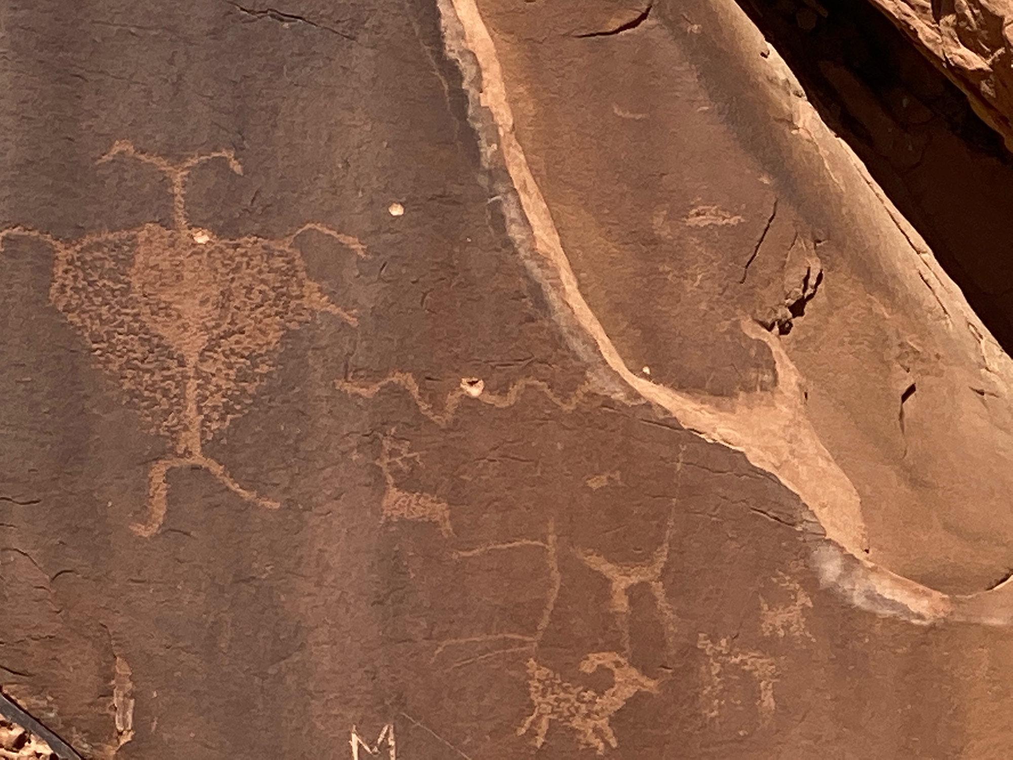
The panels run from ground level up to approximately 30 feet on the high rock wall, and cover an area about 90 feet wide. Besides the large Moab man image, there are other ornate humans depicted, as well as elk, canines and sheep. Some are faint thanks to erosion, while others still have excellent definition.
Unfortunately, at some point in the past, a part of the lower section broke off and took with it untold images that are now lost forever. Equally as unfortunate are those who decide to scale the fence that surrounds the sandstone outcropping and carve their name into the rock, or touch any of the images. Oil from human hands can contribute to a chemical change in the rock, darkening the image and can make it impossible to see. So if you decide to explore these petroglyphs, keep on the right side of the fence so everyone can keep enjoying these things.
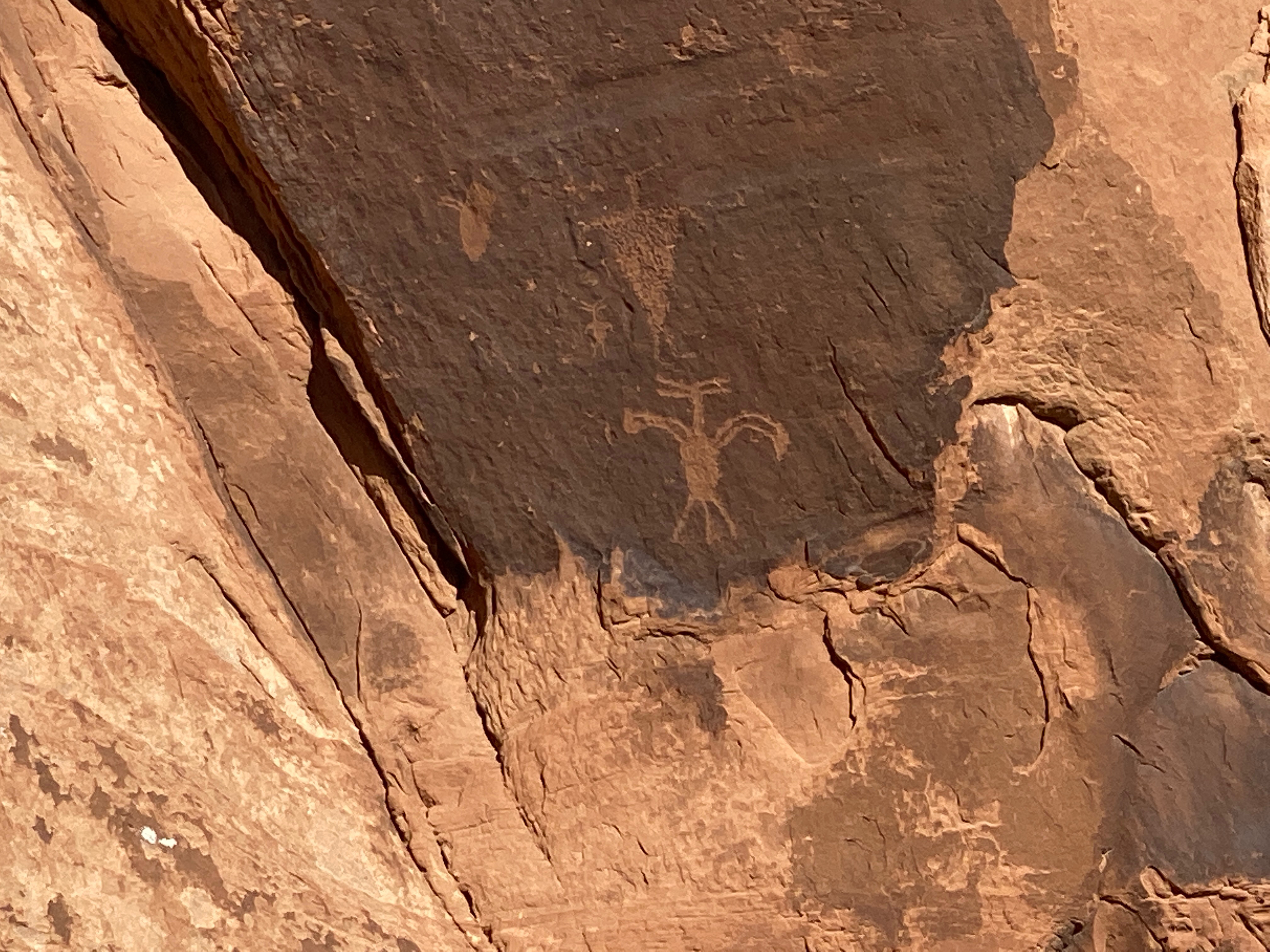
According to DiscoverMoab, rock art throughout the area was produced by a number of prehistoric and historic peoples over thousands of years.
The Anasazi centered south of Moab in the Four Corners area, and concentrated much of their subsistence efforts on the cultivation of corn, beans and squash. These were sedentary people, who also harvested a wide variety of wild resources such as pinion nuts, grasses, bighorn sheep and deer.
The Fremont people also grew corn, and were apparently more dependent on hunting and gathering wild resources than were the Anasazi. Their territory was mainly north of the Colorado River, but overlapped with the Anasazi at Moab.
Both cultures had a complex social structure, and were highly adaptive to the extremes of the environment. The Anasazi and Fremont are classified by scientists as “Formative” cultures.
So the next time (or the first time) you find yourself either heading out to Steelbender for some trail time, or just in the Moab area, take a quick pit stop and check out a little bit of history.
And just remember to keep your hands to yourself.

