by Matt Konkle
Managing Editor
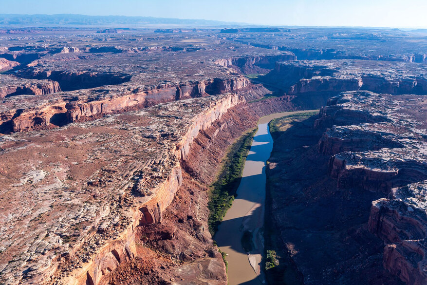
Whether you’ve actually spent some time in the region, or have just browsed pictures of the area's landscape, most people agree the area around Moab, Utah is nothing less than spectacular. Not only for the astonishing scenery, but for the sheer amount of outdoor activities as well — including motorized recreation.
However, some of that activity access may take a huge hit in the very near future following the recent release of a new Bureau of Land Management decision.
Last Thursday, the BLM unveiled its final travel management plan for the Labyrinth Rim/Gemini Bridges area west of Moab that will shut down over 312 miles of trail routes previously open to off-highway and other mechanized vehicles. The amount translates to 28% of the overall inventoried mileage.
Under the plan, popular Green River side canyons including Hellroaring Canyon, Hey Joe Canyon and Ten Mile Wash will be entirely closed to motorized travel. The upper half of the Mineral Canyon route will also close, while Spring Canyon will remain open until it meets up with the Green River.
In its decision, the BLM cited several reasons for closing these areas previously open to motorists. These include reducing impacts on wildlife like bighorn sheep and golden eagles, minimizing damage to watersheds and vegetation and preserving riparian habitats. The agency said it also closed roads to protect numerous cultural sites.
Not surprisingly, motorized recreation groups took exception to the plan, while environmental protection organizations — including the Salt Lake City-based Southern Utah Wilderness Alliance — hailed the move as a promising “step forward.”
Implementing the BLM’s decision is far from certain, however, as those who oppose the plan have vowed to wage a court fight to retain OHV access. The groups have 30 days from the decision’s release to file a legal challenge.
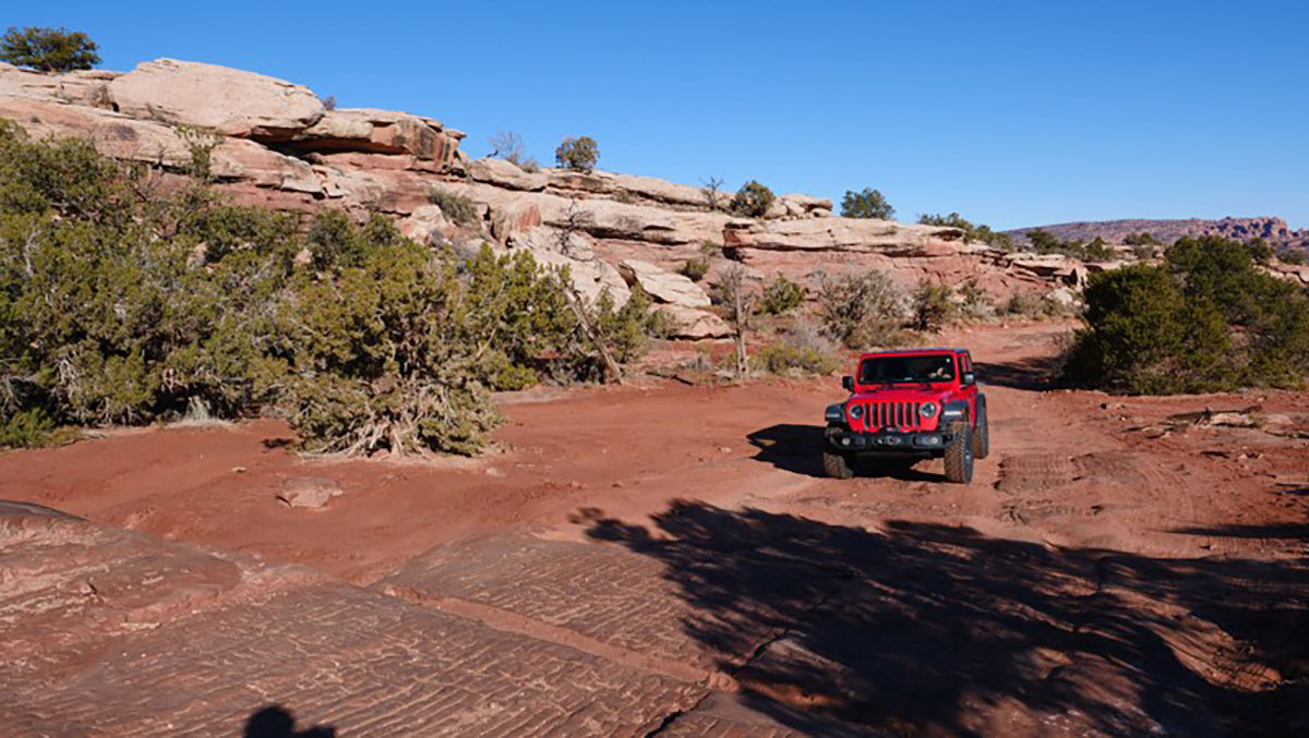
“There’s no other way to say this, this travel plan is the worst defeat motorized recreation has suffered in decades,” said Patrick McKay of the Colorado Offroad Defenders Virtual Crew, an organization that says it is dedicated to keeping access to full-size offroad trails. “SUWA won. Moab is lost. Almost every major trail west of Moab is closed, including Day Canyon Point, Hey Joe Canyon, Mashed Potatoes, Ten Mile Canyon, Hell Roaring Canyon, Mineral Canyon, Hidden Canyon, 7-Up, two of the three overlooks on Deadman Point, and many more. Poison Spider, Golden Spike, 7 Mile Rim, 3D, Buttes and Towers, Hell Roaring Rim, and Metal Masher will stay open but that’s about it.
“All motorized access to the Green River except for county B roads is closed. Most overlooks on the rims of Labyrinth Canyon, 10 Mile Canyon, Taylor Canyon, and South Fork 7 Mile Canyon are closed, for no other reason than the fact the BLM decided to completely reverse course and prioritize non-motorized recreation everywhere there is anything remotely scenic, contrary to the express direction of their own resource management plan. I thought this would be bad, but I never dreamed it would be this bad.”
Conversely, the BLM says its decision does leave open 712 miles of routes in the area within the 300,000-acre management area, and retains 91% of the routes used by the annual Easter Jeep Safari.
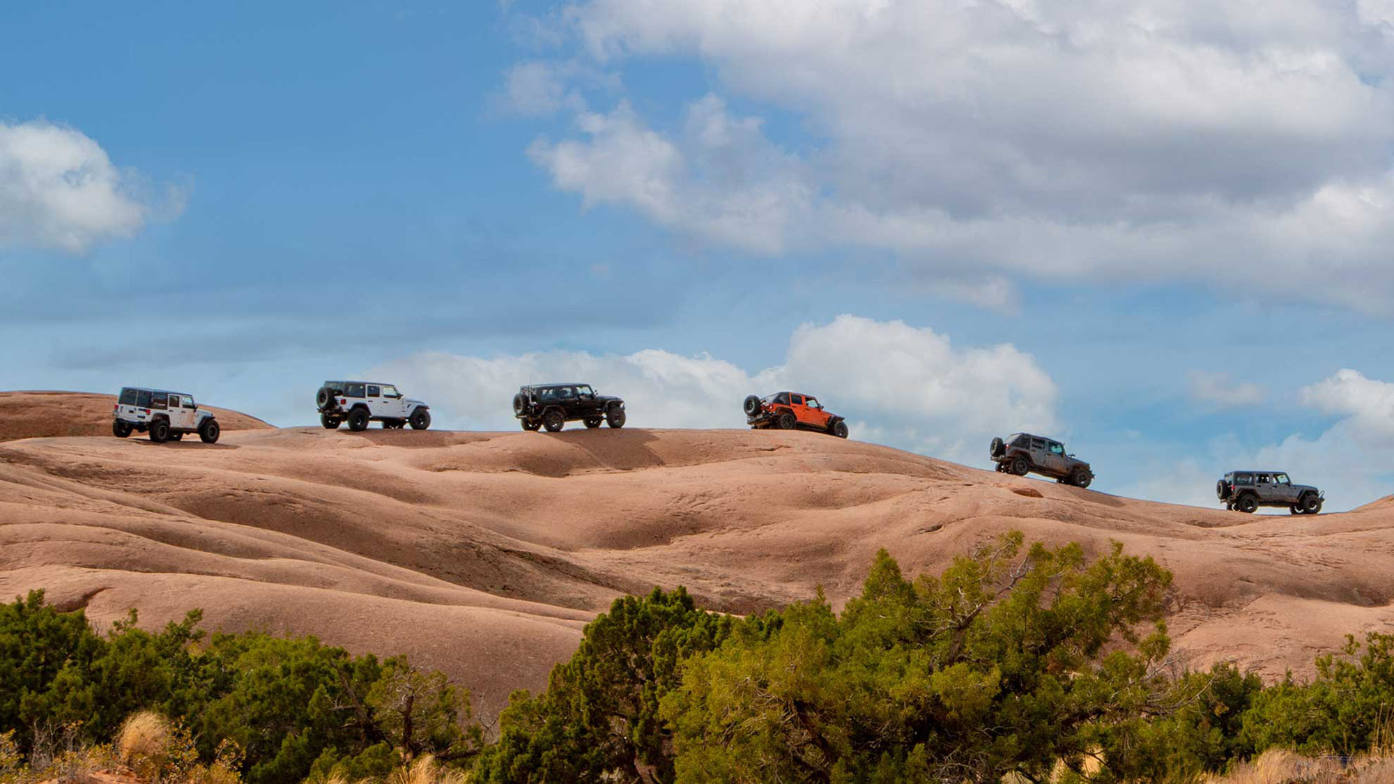
“These routes are popular with OHV-based recreation enthusiasts, and … do not frequently lead to unauthorized off-route use and present relatively few resource impacts or known user conflicts,” said Nicollee Gaddis-Wyatt, district manager for the BLM’s Canyon Country Office, in a written statement.
The SUWA, which first brought lawsuits against a number of 2008 travel management plans that eventually led to this outcome, praised the BLM’s final decision and said it believes there are plenty of places around Moab where motorized recreation will still be allowed.
“This does not cut off access. It does not exclude people. This is just a more balanced way of managing motorized recreation,” said Laura Peterson, staff attorney for SUWA. “Visitors will finally be able to experience stunning Labyrinth Canyon without the noise, dust, and damage that accompanies motorized recreation.
“For too long, the BLM has prioritized off-road vehicle use at the expense of Utah’s incredible natural and cultural resources. The Labyrinth Canyon plan represents an important step forward to guide the management of Utah’s public lands and reduce the impacts of off-road vehicle routes in this area.”
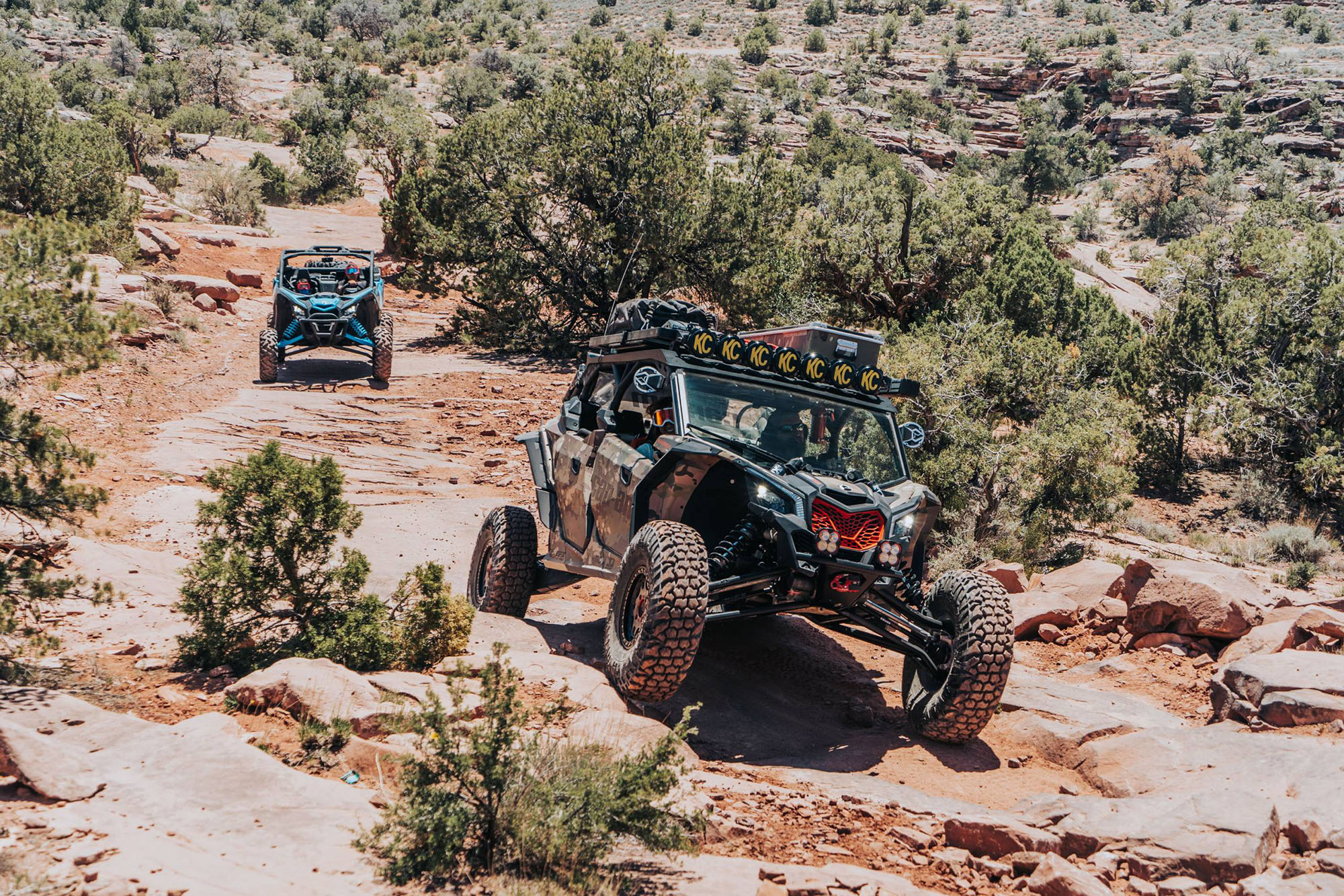
SUWA cited newer off-road vehicles, especially smaller UTVs that are able to travel deeper into the desert, as a major reason this decision was needed.
“New ORVs are faster, louder, and more capable of reaching into remote areas than ever before. Labyrinth Canyon is no exception: the area has seen a dramatic increase in motorized recreation over the past decade, with ORV noise and dust disproportionately impacting the majority of public land users,” the organization said in a press release.
The BLM’s original plan for this area included four alternatives.
Alternative A would have essentially kept the original management in place, with 1,056 miles of designated roads and about 70 miles of “limited” roads for smaller vehicles.
Alternative B would have kept 606 miles open, limited 84 miles and closed 437 miles of road, the most restrictive plan of the four. According to the BLM, it “prioritizes protection of wildlife habitat, natural and cultural resources, ecosystems, and landscapes.”
Alternative C would have kept 838 miles open, limited 121 miles and closed 167 miles, which the BLM says represents a “balanced approach to OHV access resource protection.”
Alternative D would have kept 974 miles open, limited 100 miles and close 52 miles.
In the end, the BLM didn’t choose any of those four alternatives. Instead, the agency opted for a balance between Alternative C and Alternative B, the most drastic of the four possibilities.
“I think it finally does justice to the Labyrinth Canyon corridor,” Peterson said. “It really is a balance between not just motorized and non-motorized recreation — it’s also a plan that minimizes impacts to natural and cultural sites, which is what BLM is obligated to do with these travel plans.”
Ben Burr, president of the recreation group Blue Ribbon Coalition, told The Salt Lake Tribune that these road closures were “largely unnecessary,” especially because tensions between river recreators and motorists also contributed to road closures along the east bank of the Green River.
In its report, the BLM noted “known conflicts between motorized and non-motorized users” as a reason for closing a road within Ten Mile Wash.
“If we’re going to have a situation where one user group can come out and say, ‘oh, there’s conflict here because we don’t like these people, and we don’t want them here,’ and then the BLM actually just closes [areas] to the other group — where does that end?” Burr said.
Motorized advocates also argue that with so much of the Moab area protected from OHV use — like nearby national parks, wilderness areas and national monuments — any available recreation areas are that much more precious. With these new possible closures, they say, the BLM has forgone its multiple-use mandate.
“There was a decent amount of route density in the Labyrinth Rims and Gemini Bridges area to where there was a good balance of all recreation uses,” Burr said. “Now, they’ve tilted in favor of hurting a lot of recreation users.”
This travel management plan is the third of 11 that the BLM must revise and release as part of a 2017 settlement reached with conservation and off-road vehicle advocacy groups.
Related Articles:
Five Things To Do Today In Your Jeep


